GEODACT Solutions
Transform Field Conditions into Actionable Digital Intelligence
About GEODACT Solutions
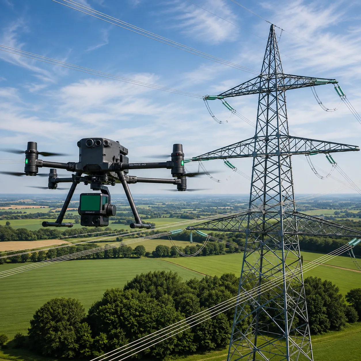
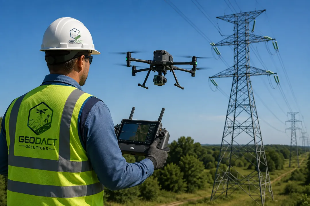
GEODACT Solutions is a geospatial data and reality-capture company specializing in drone-based LiDAR mapping, utility infrastructure inspection, vegetation management, and high-accuracy existing-conditions documentation. We partner with electric utilities, engineering firms, contractors, and infrastructure owners to turn complex field conditions into accurate, measurable, and actionable digital data. Our mission is to provide modern, efficient geospatial solutions that support engineering, maintenance planning, asset management, and risk reduction.
What sets GEODACT apart is our complete field-to-deliverable workflow. Rather than simply collecting aerial imagery, we deliver organized, GIS/CAD-ready information that clients can immediately use for decision-making. With expertise in transmission corridor intelligence, high-resolution drone imagery, LiDAR, GNSS/RTK positioning, and specialized geospatial software, we help utilities and infrastructure owners document assets, identify vegetation encroachments, assess clearance concerns, and plan maintenance with confidence. Based in Texas, we serve clients across the utility, infrastructure, engineering, construction, and property-development sectors.
Our Services

Aerial LiDAR Mapping & Photogrammetry
High-precision drone-based LiDAR and photogrammetry services delivering point clouds, digital terrain models, orthomosaics, and contour mapping. Perfect for topographic surveys, corridor mapping, and comprehensive existing-conditions documentation with GIS/CAD-ready deliverables.

Transmission & Distribution Corridor Intelligence
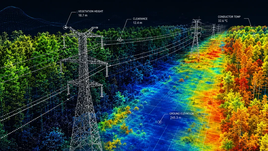
Specialized utility corridor mapping and analysis using high-resolution drone imagery, LiDAR, and GNSS/RTK positioning. We document poles, structures, conductors, vegetation, terrain, and right-of-way conditions while identifying vegetation encroachments, clearance concerns, and maintenance priorities.
Utility Asset Inspection & Risk Assessment
Comprehensive utility infrastructure inspection and detailed risk reports covering vegetation-to-conductor clearance analysis, asset and structure inventory, and condition assessment. Our reports provide actionable intelligence for maintenance planning, vegetation management, and risk reduction across your infrastructure.